The State Government is proposing Activity Centres around any tram stop or train station in Melbourne. While the final decision is still secret, it is likely to include any area with a 500m or even an 800m distance to tram stops or train stations.
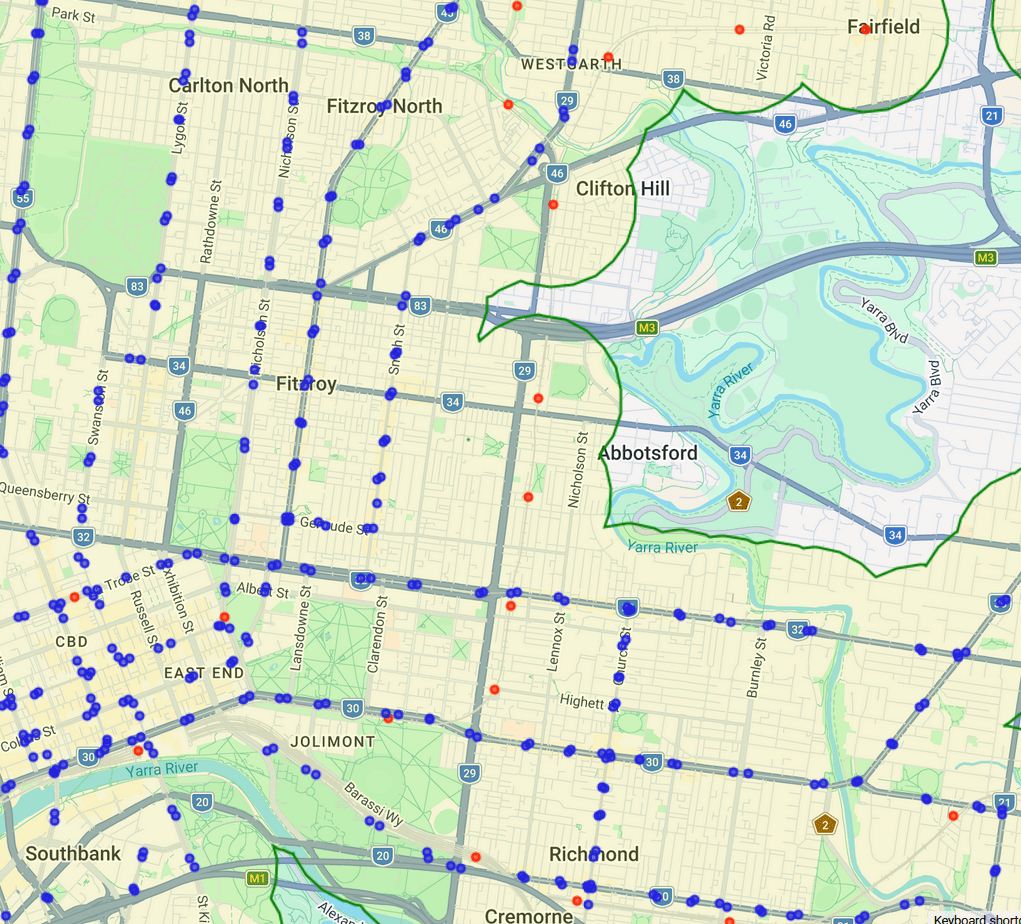
The 3068 Group generated a map of the buffer zone surrounding all Melbourne metro stations and tram stops.
You can adjust the buffer to other values. The image below is for 500m.
The distance on the map is measured as the geometric distance ‘as the crow flies’ from each stop. In a dense urban area, the real measure should be walkability – which that takes account of barriers such as arterial roads.
The map is available for reuse under a Creative Commons license.
